
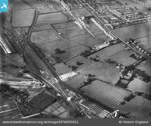
EPW055811 ENGLAND (1937). Construction of Raynesway (Town Planning Road No 4) at Spondon Junction and environs, Cherrytree Hill, 1937
© Copyright OpenStreetMap contributors and licensed by the OpenStreetMap Foundation. 2026. Cartography is licensed as CC BY-SA.
Nearby Images (4)
EPW055811
 at Spondon Junction and environs, Cherrytree Hill, 1937")
EPW060254
, Derby Road and environs, Spondon, 1938")
EPW060257
, Derby Road and environs, Spondon, 1938")
EPW055799
 at Spondon Junction, The Poplars and environs, Cherrytree Hill, 1937")
Details
| Title | [EPW055811] Construction of Raynesway (Town Planning Road No 4) at Spondon Junction and environs, Cherrytree Hill, 1937 |
| Reference | EPW055811 |
| Date | 12-October-1937 |
| Link | |
| Place name | CHERRYTREE HILL |
| Parish | |
| District | |
| Country | ENGLAND |
| Easting / Northing | 438848, 335546 |
| Longitude / Latitude | -1.4222002384985, 52.915611766915 |
| National Grid Reference | SK388355 |
Pins

HelsyB |
Thursday 9th of November 2023 12:06:38 PM | |
|
Chaddite |
Tuesday 5th of September 2023 07:42:21 PM | |
|
Chaddite |
Tuesday 5th of September 2023 07:42:09 PM | |

Peter Kazmierczak |
Wednesday 6th of August 2014 03:12:25 PM | |
|
Peter Kazmierczak |
Wednesday 6th of August 2014 03:11:33 PM |