
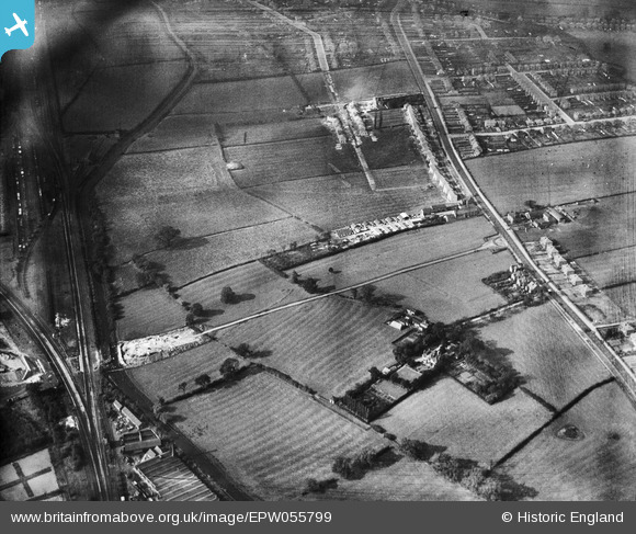
EPW055799 ENGLAND (1937). Construction of Raynesway (Town Planning Road No 4) at Spondon Junction, The Poplars and environs, Cherrytree Hill, 1937
© Copyright OpenStreetMap contributors and licensed by the OpenStreetMap Foundation. 2026. Cartography is licensed as CC BY-SA.
Nearby Images (4)
EPW055799
 at Spondon Junction, The Poplars and environs, Cherrytree Hill, 1937")
EPW060257
, Derby Road and environs, Spondon, 1938")
EPW055811
 at Spondon Junction and environs, Cherrytree Hill, 1937")
EPW060254
, Derby Road and environs, Spondon, 1938")
Details
| Title | [EPW055799] Construction of Raynesway (Town Planning Road No 4) at Spondon Junction, The Poplars and environs, Cherrytree Hill, 1937 |
| Reference | EPW055799 |
| Date | 12-October-1937 |
| Link | |
| Place name | CHERRYTREE HILL |
| Parish | |
| District | |
| Country | ENGLAND |
| Easting / Northing | 438839, 335667 |
| Longitude / Latitude | -1.422319616185, 52.916700194127 |
| National Grid Reference | SK388357 |
Pins

Peter Kazmierczak |
Sunday 6th of October 2013 12:19:31 AM | |
|
Peter Kazmierczak |
Sunday 6th of October 2013 12:18:36 AM | |
|
Peter Kazmierczak |
Sunday 6th of October 2013 12:17:32 AM | |
|
Peter Kazmierczak |
Sunday 6th of October 2013 12:15:26 AM |