
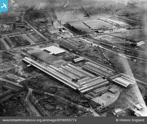
EPW055774 ENGLAND (1937). The Tube Products Ltd Works, Tat Bank, 1937. This image has been affected by flare.
© Copyright OpenStreetMap contributors and licensed by the OpenStreetMap Foundation. 2026. Cartography is licensed as CC BY-SA.
Nearby Images (30)
EPW055774

EPW055772

EPW055768

EAW009986

EPW047975

EPW044522

EPW055769

EPW044525

EPW047979

EAW009988

EPW047978

EPW047976

EPW047980

EAW009980

EPW044521

EPW047977

EPW047981

EAW009981

EPW055773

EPW044524

EPW044526

EAW009987

EPW055771

EPW055770

EAW009984

EAW009979

EAW009985

EAW009983

EAW009982

EAW001209

Details
| Title | [EPW055774] The Tube Products Ltd Works, Tat Bank, 1937. This image has been affected by flare. |
| Reference | EPW055774 |
| Date | 11-October-1937 |
| Link | |
| Place name | TAT BANK |
| Parish | |
| District | |
| Country | ENGLAND |
| Easting / Northing | 400003, 289084 |
| Longitude / Latitude | -1.9999558028167, 52.499292584254 |
| National Grid Reference | SP000891 |
Pins
Be the first to add a comment to this image!