
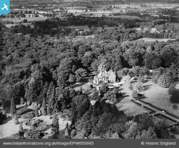
EPW055665 ENGLAND (1937). Park Place, Englefield Green, 1937
© Copyright OpenStreetMap contributors and licensed by the OpenStreetMap Foundation. 2024. Cartography is licensed as CC BY-SA.
Nearby Images (5)
EPW055665

EPW055667

EPW055663

EPW055666

EPW055664

Details
| Title | [EPW055665] Park Place, Englefield Green, 1937 |
| Reference | EPW055665 |
| Date | 30-September-1937 |
| Link | |
| Place name | ENGLEFIELD GREEN |
| Parish | |
| District | |
| Country | ENGLAND |
| Easting / Northing | 498187, 172421 |
| Longitude / Latitude | -0.58709356241131, 51.441770636566 |
| National Grid Reference | SU982724 |
Pins
Be the first to add a comment to this image!