
EPW054883 ENGLAND (1937). Sutton Harbour, Plymouth, 1937

© Copyright OpenStreetMap contributors and licensed by the OpenStreetMap Foundation. 2026. Cartography is licensed as CC BY-SA.
Nearby Images (3)
EPW054883

EAW692027

EPW054891

Details
| Title | [EPW054883] Sutton Harbour, Plymouth, 1937 |
| Reference | EPW054883 |
| Date | 16-August-1937 |
| Link | |
| Place name | PLYMOUTH |
| Parish | |
| District | |
| Country | ENGLAND |
| Easting / Northing | 248326, 54315 |
| Longitude / Latitude | -4.1330129750907, 50.368548889072 |
| National Grid Reference | SX483543 |
Pins

Beverley Davies |
Thursday 6th of November 2025 10:06:28 AM | |
|
smith of smiths |
Sunday 28th of February 2021 01:49:30 AM | |
|
smith of smiths |
Sunday 28th of February 2021 01:46:59 AM | |
|
smith of smiths |
Sunday 28th of February 2021 01:44:33 AM | |
|
gmlong |
Monday 26th of August 2013 09:59:30 PM | |
|
wessexpig |
Monday 17th of June 2013 06:24:58 PM |
User Comment Contributions
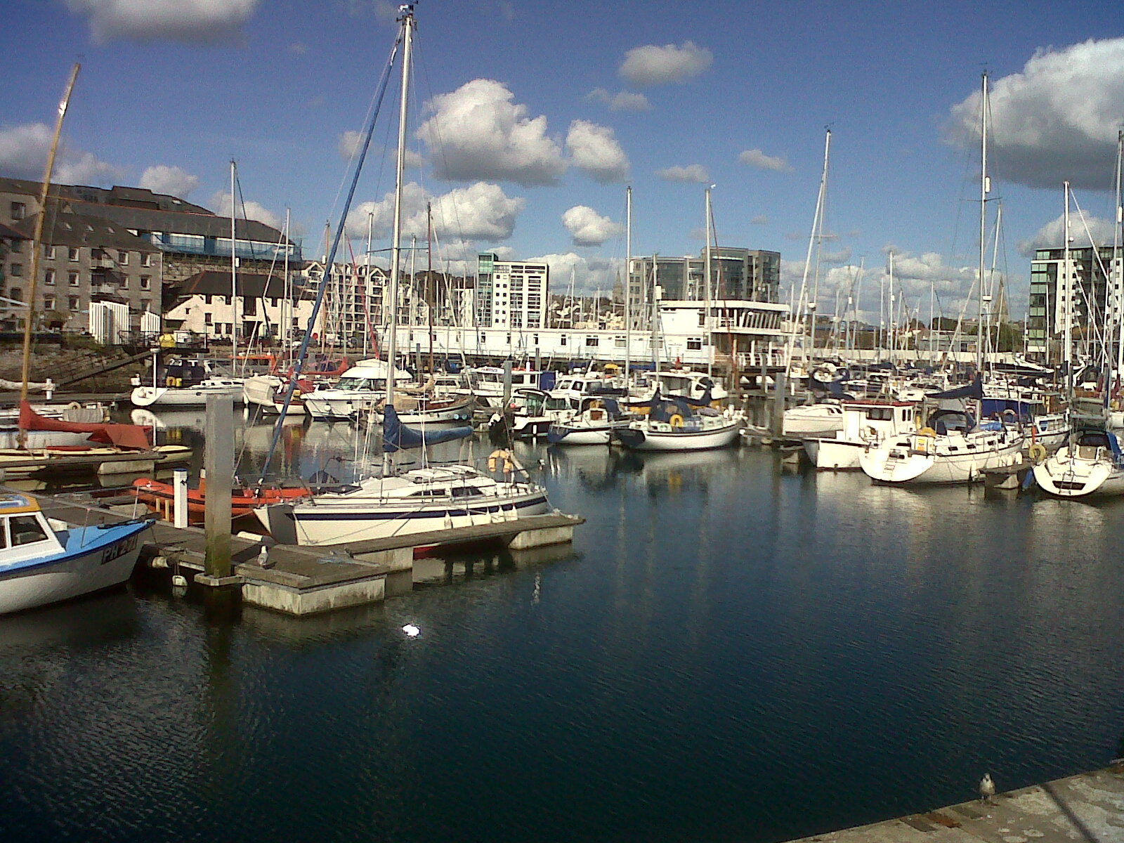
Looking north east across Sutton Harbour from near Quay Road 19/09/2012 |

Class31 |
Saturday 5th of October 2013 12:55:49 PM |