
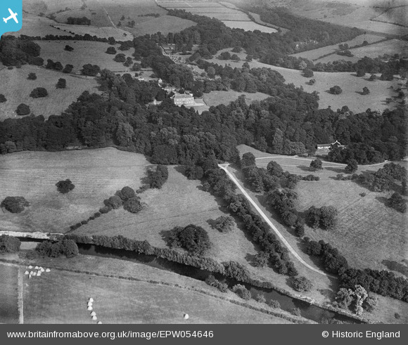
EPW054646 ENGLAND (1937). Croxdale Hall, Sunderland Bridge, from the west, 1937
© Copyright OpenStreetMap contributors and licensed by the OpenStreetMap Foundation. 2026. Cartography is licensed as CC BY-SA.
Nearby Images (2)
EPW054646

EPW054647

Details
| Title | [EPW054646] Croxdale Hall, Sunderland Bridge, from the west, 1937 |
| Reference | EPW054646 |
| Date | 30-July-1937 |
| Link | |
| Place name | SUNDERLAND BRIDGE |
| Parish | CROXDALE AND HETT |
| District | |
| Country | ENGLAND |
| Easting / Northing | 426935, 537963 |
| Longitude / Latitude | -1.581635984097, 54.73581576775 |
| National Grid Reference | NZ269380 |
Pins

Chells809 |
Thursday 27th of February 2014 12:01:31 PM |