
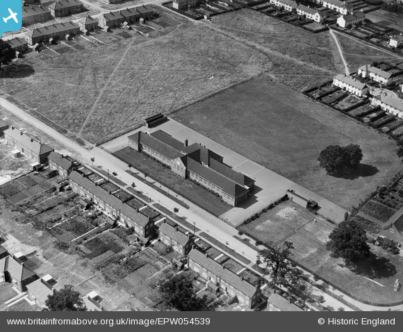
EPW054539 ENGLAND (1937). Holwell Primary School, Peartree, 1937
© Copyright OpenStreetMap contributors and licensed by the OpenStreetMap Foundation. 2026. Cartography is licensed as CC BY-SA.
Nearby Images (4)
EPW054539

EPW047355

EPW062047

EAW041978

Details
| Title | [EPW054539] Holwell Primary School, Peartree, 1937 |
| Reference | EPW054539 |
| Date | 30-July-1937 |
| Link | |
| Place name | PEARTREE |
| Parish | |
| District | |
| Country | ENGLAND |
| Easting / Northing | 524594, 212131 |
| Longitude / Latitude | -0.19315590391743, 51.793485921378 |
| National Grid Reference | TL246121 |
Pins
Be the first to add a comment to this image!
User Comment Contributions
The 1st one |

Smith |
Saturday 18th of March 2017 12:13:40 AM |