
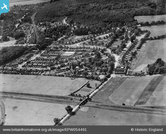
EPW054491 ENGLAND (1937). Lyles Bridge, Digswell Lodge Farm and the residential area surrounding Blakemere Road, Sherrardspark, 1937
© Copyright OpenStreetMap contributors and licensed by the OpenStreetMap Foundation. 2026. Cartography is licensed as CC BY-SA.
Nearby Images (7)
EPW054491

EPW047360

EPW047359

EPW047358

EPW054504

EPW047383

EPW047381

Details
| Title | [EPW054491] Lyles Bridge, Digswell Lodge Farm and the residential area surrounding Blakemere Road, Sherrardspark, 1937 |
| Reference | EPW054491 |
| Date | 30-July-1937 |
| Link | |
| Place name | SHERRARDSPARK |
| Parish | |
| District | |
| Country | ENGLAND |
| Easting / Northing | 523968, 213711 |
| Longitude / Latitude | -0.20166417744992, 51.807825465954 |
| National Grid Reference | TL240137 |
Pins
Be the first to add a comment to this image!