
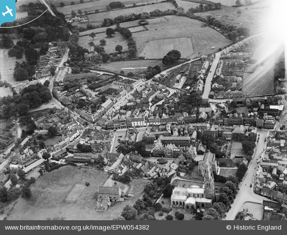
EPW054382 ENGLAND (1937). The town centre, Oakham, 1937
© Copyright OpenStreetMap contributors and licensed by the OpenStreetMap Foundation. 2026. Cartography is licensed as CC BY-SA.
Nearby Images (13)
EPW054382

EAW042525

EPW054415

EPW054416

EPW054426

EAW007498

EPW054383

EAW007496

EAW007497

EPW054418

EAW007499

EAW007495

EAW007500

Details
| Title | [EPW054382] The town centre, Oakham, 1937 |
| Reference | EPW054382 |
| Date | 26-July-1937 |
| Link | |
| Place name | OAKHAM |
| Parish | OAKHAM |
| District | |
| Country | ENGLAND |
| Easting / Northing | 486134, 308694 |
| Longitude / Latitude | -0.72610876222772, 52.668757224912 |
| National Grid Reference | SK861087 |
Pins

Tony |
Tuesday 29th of March 2022 12:38:55 AM | |
|
Tony |
Tuesday 29th of March 2022 12:36:25 AM | |
|
ainsleylad |
Sunday 2nd of November 2014 05:21:55 PM |