
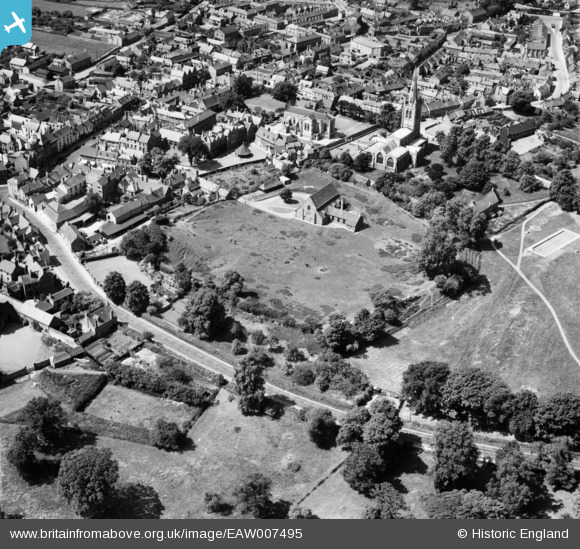
EAW007495 ENGLAND (1947). Oakham Castle Hall and All Saints' Church, Oakham, 1947
© Copyright OpenStreetMap contributors and licensed by the OpenStreetMap Foundation. 2026. Cartography is licensed as CC BY-SA.
Nearby Images (13)
EAW007495

EAW007496

EAW007499

EAW007497

EAW007500

EAW007498

EPW054415

EPW054416

EPW054418

EPW054426

EAW042525

EPW054382

EPW054383

Details
| Title | [EAW007495] Oakham Castle Hall and All Saints' Church, Oakham, 1947 |
| Reference | EAW007495 |
| Date | 3-June-1947 |
| Link | |
| Place name | OAKHAM |
| Parish | OAKHAM |
| District | |
| Country | ENGLAND |
| Easting / Northing | 486201, 308896 |
| Longitude / Latitude | -0.72506526880784, 52.670562247517 |
| National Grid Reference | SK862089 |
Pins
Be the first to add a comment to this image!