
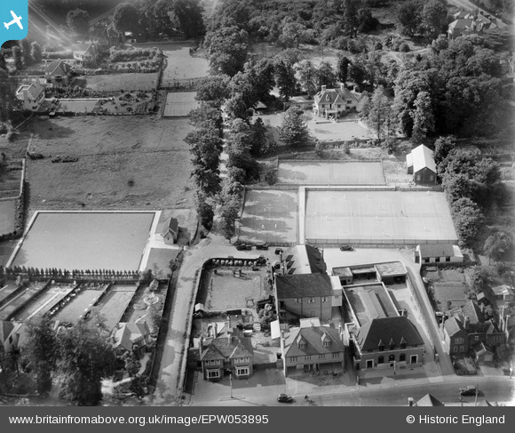
EPW053895 ENGLAND (1937). The Elm Park Tennis Courts and the Stanmore Bowling Green, Stanmore, 1937
© Copyright OpenStreetMap contributors and licensed by the OpenStreetMap Foundation. 2026. Cartography is licensed as CC BY-SA.
Nearby Images (6)
EPW053895

EPW053894

EPW053897

EPW053896

EPW053898

EPW053977

Details
| Title | [EPW053895] The Elm Park Tennis Courts and the Stanmore Bowling Green, Stanmore, 1937 |
| Reference | EPW053895 |
| Date | June-1937 |
| Link | |
| Place name | STANMORE |
| Parish | |
| District | |
| Country | ENGLAND |
| Easting / Northing | 516823, 192329 |
| Longitude / Latitude | -0.31243218209656, 51.617177525298 |
| National Grid Reference | TQ168923 |
Pins

Chris |
Thursday 27th of March 2014 06:45:41 PM | |
|
French47 |
Thursday 20th of February 2014 01:09:49 PM | |
|
French47 |
Thursday 20th of February 2014 01:09:22 PM |