
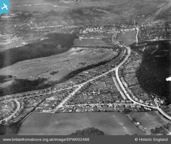
EPW052488 ENGLAND (1937). Croham Hurst Golf Course and housing around Croham Valley Road, Croham Hurst, 1937. This image has been produced from a print.
© Copyright OpenStreetMap contributors and licensed by the OpenStreetMap Foundation. 2025. Cartography is licensed as CC BY-SA.
Nearby Images (2)
EPW052488

EPW015877

Details
| Title | [EPW052488] Croham Hurst Golf Course and housing around Croham Valley Road, Croham Hurst, 1937. This image has been produced from a print. |
| Reference | EPW052488 |
| Date | 22-March-1937 |
| Link | |
| Place name | CROHAM HURST |
| Parish | |
| District | |
| Country | ENGLAND |
| Easting / Northing | 534256, 163485 |
| Longitude / Latitude | -0.071717399694834, 51.354056275582 |
| National Grid Reference | TQ343635 |
Pins
Be the first to add a comment to this image!