
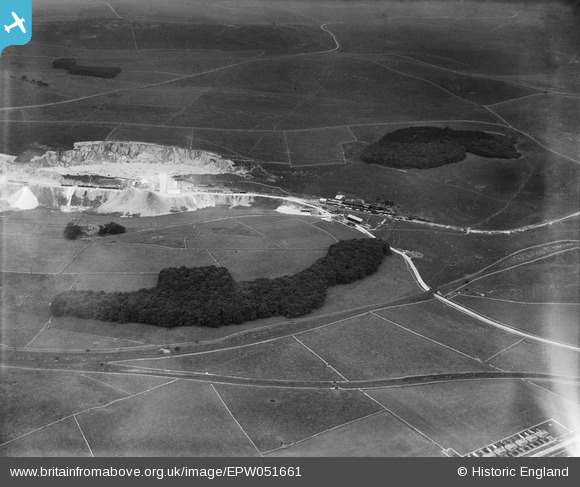
EPW051661 ENGLAND (1936). Hillhead Quarries Tarmacadam Works, Staker Wood and Hillhead Plantation, Staker Hill, 1936
© Copyright OpenStreetMap contributors and licensed by the OpenStreetMap Foundation. 2026. Cartography is licensed as CC BY-SA.
Nearby Images (3)
EPW051661

EPW045377

EPW051660

Details
| Title | [EPW051661] Hillhead Quarries Tarmacadam Works, Staker Wood and Hillhead Plantation, Staker Hill, 1936 |
| Reference | EPW051661 |
| Date | August-1936 |
| Link | |
| Place name | STAKER HILL |
| Parish | HARTINGTON UPPER QUARTER |
| District | |
| Country | ENGLAND |
| Easting / Northing | 407191, 369974 |
| Longitude / Latitude | -1.8922732552853, 53.226479442042 |
| National Grid Reference | SK072700 |
Pins
Be the first to add a comment to this image!