
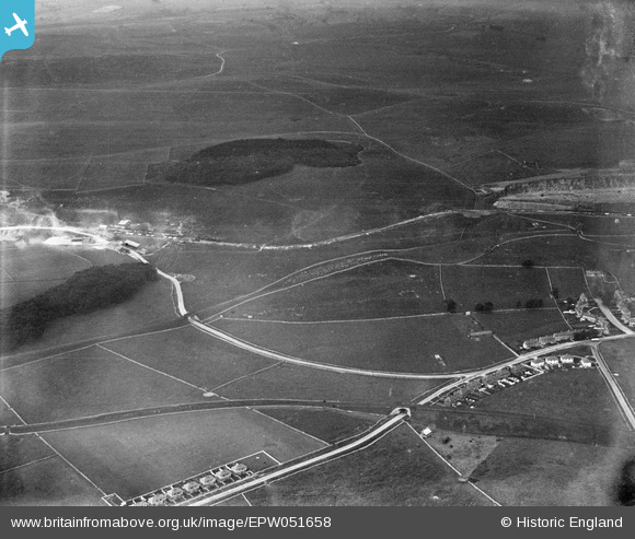
EPW051658 ENGLAND (1936). Hillhead Lane, Staker Wood and environs, Staker Hill, 1936
© Copyright OpenStreetMap contributors and licensed by the OpenStreetMap Foundation. 2026. Cartography is licensed as CC BY-SA.
Nearby Images (4)
EPW051658

EPW051670

EPW045377

EPW051660

Details
| Title | [EPW051658] Hillhead Lane, Staker Wood and environs, Staker Hill, 1936 |
| Reference | EPW051658 |
| Date | August-1936 |
| Link | |
| Place name | STAKER HILL |
| Parish | HARTINGTON UPPER QUARTER |
| District | |
| Country | ENGLAND |
| Easting / Northing | 407016, 370243 |
| Longitude / Latitude | -1.8948889639909, 53.228900054273 |
| National Grid Reference | SK070702 |
Pins
Be the first to add a comment to this image!