
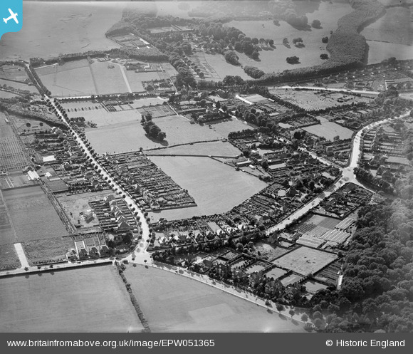
EPW051365 ENGLAND (1936). Park Avenue, King's Drive and environs, Eastbourne, 1936
© Copyright OpenStreetMap contributors and licensed by the OpenStreetMap Foundation. 2024. Cartography is licensed as CC BY-SA.
Nearby Images (3)
EPW051365

EPW051366

EPW051362

Details
| Title | [EPW051365] Park Avenue, King's Drive and environs, Eastbourne, 1936 |
| Reference | EPW051365 |
| Date | August-1936 |
| Link | |
| Place name | EASTBOURNE |
| Parish | |
| District | |
| Country | ENGLAND |
| Easting / Northing | 559484, 101496 |
| Longitude / Latitude | 0.26299631631828, 50.790497738625 |
| National Grid Reference | TQ595015 |
Pins
Be the first to add a comment to this image!