
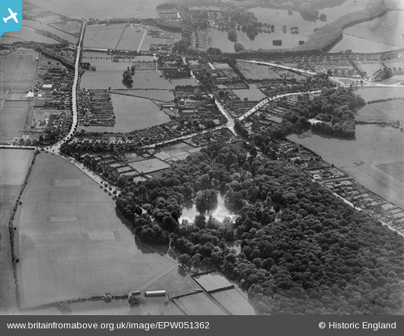
EPW051362 ENGLAND (1936). Hampden Park, the junction of Park Lane and King's Drive and environs, Hampden Park, 1936
© Copyright OpenStreetMap contributors and licensed by the OpenStreetMap Foundation. 2024. Cartography is licensed as CC BY-SA.
Nearby Images (4)
EPW051362

EPW051364

EPW051366

EPW051365

Details
| Title | [EPW051362] Hampden Park, the junction of Park Lane and King's Drive and environs, Hampden Park, 1936 |
| Reference | EPW051362 |
| Date | August-1936 |
| Link | |
| Place name | HAMPDEN PARK |
| Parish | |
| District | |
| Country | ENGLAND |
| Easting / Northing | 559729, 101733 |
| Longitude / Latitude | 0.26657288856634, 50.792560084961 |
| National Grid Reference | TQ597017 |
Pins
Be the first to add a comment to this image!