
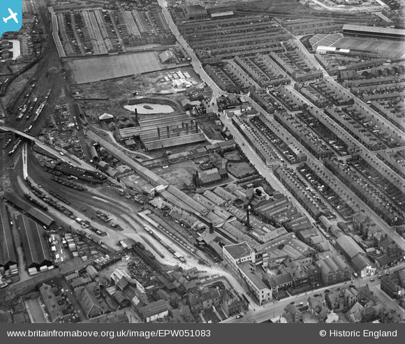
EPW051083 ENGLAND (1936). The British Ropes Ltd Hemp and Rope Works and environs in Monkwearmouth, Sunderland, 1936
© Copyright OpenStreetMap contributors and licensed by the OpenStreetMap Foundation. 2026. Cartography is licensed as CC BY-SA.
Nearby Images (7)
EPW051083

EPW051077

EPW051078

EPW051080

EPW051079

EPW051081

EPW051082

Details
| Title | [EPW051083] The British Ropes Ltd Hemp and Rope Works and environs in Monkwearmouth, Sunderland, 1936 |
| Reference | EPW051083 |
| Date | July-1936 |
| Link | |
| Place name | SUNDERLAND |
| Parish | |
| District | |
| Country | ENGLAND |
| Easting / Northing | 439862, 558296 |
| Longitude / Latitude | -1.3780580136382, 54.917688538965 |
| National Grid Reference | NZ399583 |
Pins

PinzaC55 |
Monday 23rd of June 2025 08:44:08 AM |