
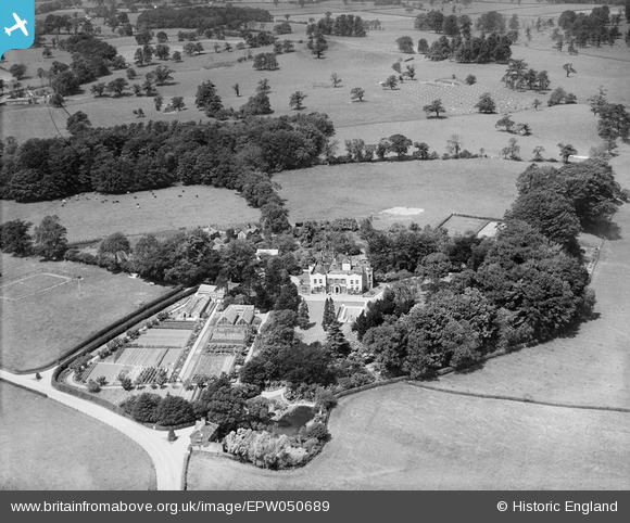
EPW050689 ENGLAND (1936). Bonis Hall and the surrounding countryside, Prestbury, 1936
© Copyright OpenStreetMap contributors and licensed by the OpenStreetMap Foundation. 2026. Cartography is licensed as CC BY-SA.
Nearby Images (5)
EPW050689

EPW050686

EPW050688

EPW050685

EPW050687

Details
| Title | [EPW050689] Bonis Hall and the surrounding countryside, Prestbury, 1936 |
| Reference | EPW050689 |
| Date | June-1936 |
| Link | |
| Place name | PRESTBURY |
| Parish | PRESTBURY |
| District | |
| Country | ENGLAND |
| Easting / Northing | 390276, 378998 |
| Longitude / Latitude | -2.1459489075907, 53.30756292034 |
| National Grid Reference | SJ903790 |
Pins

John Ellis |
Sunday 28th of August 2016 09:15:45 PM | |
|
John Ellis |
Sunday 28th of August 2016 09:11:54 PM | |
|
John Ellis |
Sunday 28th of August 2016 09:11:21 PM | |
|
totoro |
Sunday 12th of May 2013 03:28:49 PM | |
|
totoro |
Sunday 12th of May 2013 03:20:54 PM | |
|
totoro |
Sunday 12th of May 2013 03:19:01 PM | |
|
totoro |
Sunday 12th of May 2013 03:18:15 PM | |
|
totoro |
Sunday 12th of May 2013 03:15:42 PM | |
|
totoro |
Sunday 12th of May 2013 03:13:23 PM | |
|
totoro |
Sunday 12th of May 2013 03:03:11 PM |