
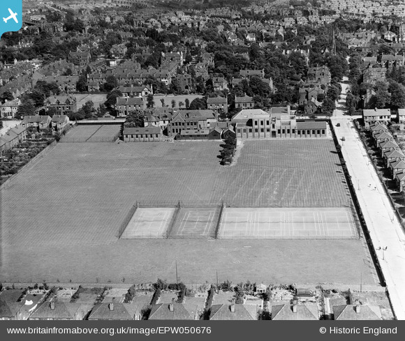
EPW050676 ENGLAND (1936). Withington Girls School and Playing Fields, Fallowfield, 1936
© Copyright OpenStreetMap contributors and licensed by the OpenStreetMap Foundation. 2026. Cartography is licensed as CC BY-SA.
Nearby Images (16)
EPW050676

EPW050680

EPW050683

EPW050681

EPW050682

EPW050684

EPW050677

EPW050679

EPW050674

EPW051918

EPW050678

EPW051917

EPW050675

EPW051920

EPW051919

EPW051921

Details
| Title | [EPW050676] Withington Girls School and Playing Fields, Fallowfield, 1936 |
| Reference | EPW050676 |
| Date | June-1936 |
| Link | |
| Place name | FALLOWFIELD |
| Parish | |
| District | |
| Country | ENGLAND |
| Easting / Northing | 385043, 393603 |
| Longitude / Latitude | -2.2251826130998, 53.438733849039 |
| National Grid Reference | SJ850936 |
Pins
Be the first to add a comment to this image!