
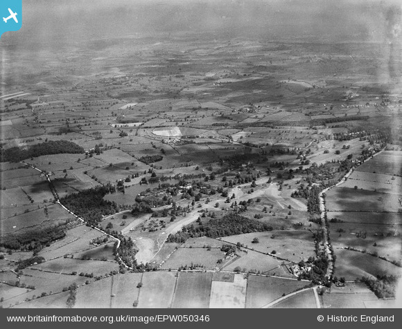
EPW050346 ENGLAND (1936). Willesley Park and surrounding countryside, Willesley, from the south, 1936
© Copyright OpenStreetMap contributors and licensed by the OpenStreetMap Foundation. 2026. Cartography is licensed as CC BY-SA.
Nearby Images (6)
EPW050346

EPW050342

EPW050356

EPW050351

EPW050357

EPW050344

Details
| Title | [EPW050346] Willesley Park and surrounding countryside, Willesley, from the south, 1936 |
| Reference | EPW050346 |
| Date | June-1936 |
| Link | |
| Place name | WILLESLEY |
| Parish | ASHBY-DE-LA-ZOUCH |
| District | |
| Country | ENGLAND |
| Easting / Northing | 434202, 314688 |
| Longitude / Latitude | -1.493483759881, 52.728411480891 |
| National Grid Reference | SK342147 |
Pins
Be the first to add a comment to this image!