
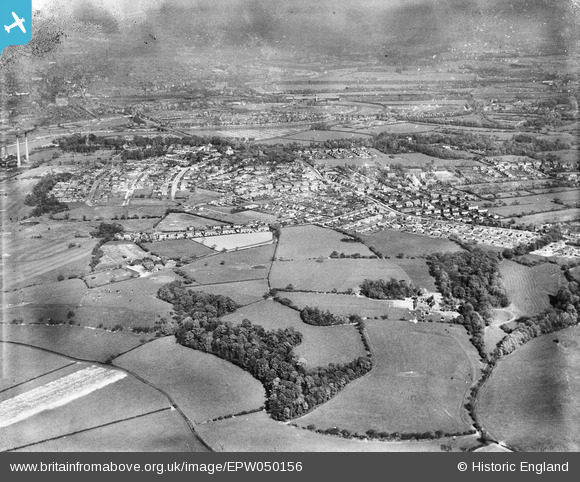
EPW050156 ENGLAND (1936). Four Acre Wood, the town and environs, Penwortham, from the west, 1936
© Copyright OpenStreetMap contributors and licensed by the OpenStreetMap Foundation. 2026. Cartography is licensed as CC BY-SA.
Nearby Images (4)
EPW050156

EPW050150

EPW050155

EPW050153

Details
| Title | [EPW050156] Four Acre Wood, the town and environs, Penwortham, from the west, 1936 |
| Reference | EPW050156 |
| Date | May-1936 |
| Link | |
| Place name | PENWORTHAM |
| Parish | PENWORTHAM |
| District | |
| Country | ENGLAND |
| Easting / Northing | 350996, 428475 |
| Longitude / Latitude | -2.7432217312155, 53.750117471893 |
| National Grid Reference | SD510285 |
Pins
Be the first to add a comment to this image!