
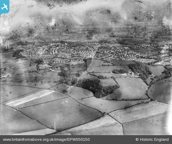
EPW050150 ENGLAND (1936). Four Acre Wood, the town and environs, Penwortham, from the west, 1936. This image has been produced from a damaged negative.
© Copyright OpenStreetMap contributors and licensed by the OpenStreetMap Foundation. 2026. Cartography is licensed as CC BY-SA.
Nearby Images (2)
EPW050150

EPW050156

Details
| Title | [EPW050150] Four Acre Wood, the town and environs, Penwortham, from the west, 1936. This image has been produced from a damaged negative. |
| Reference | EPW050150 |
| Date | May-1936 |
| Link | |
| Place name | PENWORTHAM |
| Parish | PENWORTHAM |
| District | |
| Country | ENGLAND |
| Easting / Northing | 350798, 428525 |
| Longitude / Latitude | -2.7462323934713, 53.750548232095 |
| National Grid Reference | SD508285 |
Pins
Be the first to add a comment to this image!