
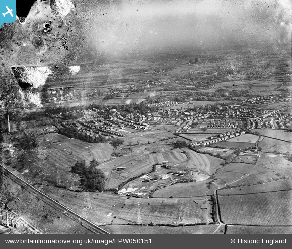
EPW050151 ENGLAND (1936). The Penwortham Sewage Works, the town and environs, Penwortham, from the north-west, 1936. This image has been produced from a damaged negative.
© Copyright OpenStreetMap contributors and licensed by the OpenStreetMap Foundation. 2026. Cartography is licensed as CC BY-SA.
Nearby Images (3)
EPW050151

EAW041486

EPW050154

Details
| Title | [EPW050151] The Penwortham Sewage Works, the town and environs, Penwortham, from the north-west, 1936. This image has been produced from a damaged negative. |
| Reference | EPW050151 |
| Date | May-1936 |
| Link | |
| Place name | PENWORTHAM |
| Parish | PENWORTHAM |
| District | |
| Country | ENGLAND |
| Easting / Northing | 351501, 428856 |
| Longitude / Latitude | -2.7356231500454, 53.753589271177 |
| National Grid Reference | SD515289 |
Pins
Be the first to add a comment to this image!