
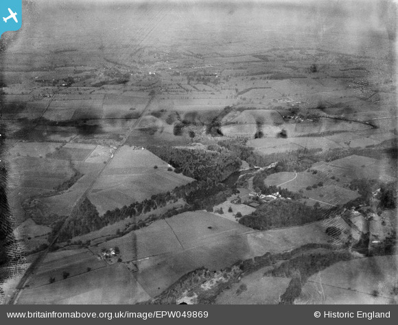
EPW049869 ENGLAND (1936). Big Wood, Slaney's Covert, Orchard Covert and surrounding countryside, Ruckley Grange, from the south-east, 1936. This image has been produced from a damaged negative.
© Copyright OpenStreetMap contributors and licensed by the OpenStreetMap Foundation. 2026. Cartography is licensed as CC BY-SA.
Nearby Images (4)
EPW049869

EPW049844

EPW049846

EPW049863

Details
| Title | [EPW049869] Big Wood, Slaney's Covert, Orchard Covert and surrounding countryside, Ruckley Grange, from the south-east, 1936. This image has been produced from a damaged negative. |
| Reference | EPW049869 |
| Date | April-1936 |
| Link | |
| Place name | RUCKLEY GRANGE |
| Parish | TONG |
| District | |
| Country | ENGLAND |
| Easting / Northing | 377873, 306375 |
| Longitude / Latitude | -2.3271358813104, 52.654302043781 |
| National Grid Reference | SJ779064 |
Pins
Be the first to add a comment to this image!