
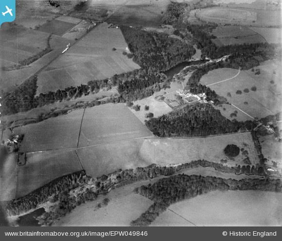
EPW049846 ENGLAND (1936). Ruckley Grange, Orchard Covert and surrounding countryside, Ruckley Grange, 1936
© Copyright OpenStreetMap contributors and licensed by the OpenStreetMap Foundation. 2026. Cartography is licensed as CC BY-SA.
Nearby Images (2)
EPW049846

EPW049869

Details
| Title | [EPW049846] Ruckley Grange, Orchard Covert and surrounding countryside, Ruckley Grange, 1936 |
| Reference | EPW049846 |
| Date | April-1936 |
| Link | |
| Place name | RUCKLEY GRANGE |
| Parish | TONG |
| District | |
| Country | ENGLAND |
| Easting / Northing | 378017, 306383 |
| Longitude / Latitude | -2.3250074889671, 52.654379825996 |
| National Grid Reference | SJ780064 |
Pins
Be the first to add a comment to this image!