
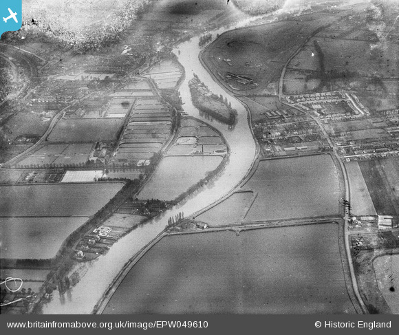
EPW049610 ENGLAND (1936). The Hampton Pumping Station and Water Works, Platt's Ait and environs, Hampton, 1936. This image has been produced from a damaged negative.
© Copyright OpenStreetMap contributors and licensed by the OpenStreetMap Foundation. 2026. Cartography is licensed as CC BY-SA.
Nearby Images (2)
EPW049610

EPW049607

Details
| Title | [EPW049610] The Hampton Pumping Station and Water Works, Platt's Ait and environs, Hampton, 1936. This image has been produced from a damaged negative. |
| Reference | EPW049610 |
| Date | January-1936 |
| Link | |
| Place name | HAMPTON |
| Parish | |
| District | |
| Country | ENGLAND |
| Easting / Northing | 512846, 169017 |
| Longitude / Latitude | -0.37732066865544, 51.408440741735 |
| National Grid Reference | TQ128690 |
Pins
Be the first to add a comment to this image!