
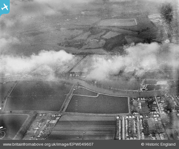
EPW049607 ENGLAND (1936). Metropolitan Water Board Reservoirs and environs, West Molesey, from the south-east, 1936
© Copyright OpenStreetMap contributors and licensed by the OpenStreetMap Foundation. 2026. Cartography is licensed as CC BY-SA.
Nearby Images (3)
EPW049607

EPW049605

EPW049610

Details
| Title | [EPW049607] Metropolitan Water Board Reservoirs and environs, West Molesey, from the south-east, 1936 |
| Reference | EPW049607 |
| Date | January-1936 |
| Link | |
| Place name | WEST MOLESEY |
| Parish | |
| District | |
| Country | ENGLAND |
| Easting / Northing | 512609, 168787 |
| Longitude / Latitude | -0.38080020885421, 51.406420381142 |
| National Grid Reference | TQ126688 |
Pins
Be the first to add a comment to this image!