
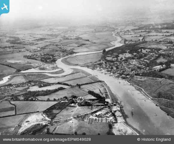
EPW049028 ENGLAND (1935). Rowhedge and Wivenhoe alongside the River Colne, Fingringhoe, from the south-east, 1935. This image has been produced from a copy-negative.
© Copyright OpenStreetMap contributors and licensed by the OpenStreetMap Foundation. 2026. Cartography is licensed as CC BY-SA.
Nearby Images (2)
EPW049028

EPW049027

Details
| Title | [EPW049028] Rowhedge and Wivenhoe alongside the River Colne, Fingringhoe, from the south-east, 1935. This image has been produced from a copy-negative. |
| Reference | EPW049028 |
| Date | August-1935 |
| Link | |
| Place name | FINGRINGHOE |
| Parish | FINGRINGHOE |
| District | |
| Country | ENGLAND |
| Easting / Northing | 604097, 221029 |
| Longitude / Latitude | 0.96369052550068, 51.8500390053 |
| National Grid Reference | TM041210 |
Pins
Be the first to add a comment to this image!