
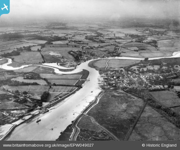
EPW049027 ENGLAND (1935). The River Colne and the town, Wivenhoe, from the east, 1935. This image has been produced from a copy-negative.
© Copyright OpenStreetMap contributors and licensed by the OpenStreetMap Foundation. 2026. Cartography is licensed as CC BY-SA.
Nearby Images (2)
EPW049027

EPW049028

Details
| Title | [EPW049027] The River Colne and the town, Wivenhoe, from the east, 1935. This image has been produced from a copy-negative. |
| Reference | EPW049027 |
| Date | August-1935 |
| Link | |
| Place name | WIVENHOE |
| Parish | WIVENHOE |
| District | |
| Country | ENGLAND |
| Easting / Northing | 604277, 221252 |
| Longitude / Latitude | 0.96643229548783, 51.851975686812 |
| National Grid Reference | TM043213 |
