
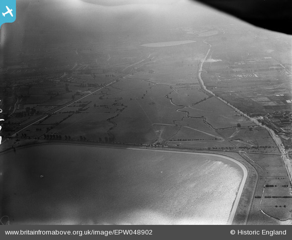
EPW048902 ENGLAND (1935). The southern end of King George's Reservoir and the site of the William Girling Reservoir, Ponders End, from the north, 1935
© Copyright OpenStreetMap contributors and licensed by the OpenStreetMap Foundation. 2026. Cartography is licensed as CC BY-SA.
Nearby Images (6)
EPW048902

EPW049704

EPW058455
 Reservoir under construction, Edmonton, 1938")
EPW048904

EPW060632

EPW056819

Details
| Title | [EPW048902] The southern end of King George's Reservoir and the site of the William Girling Reservoir, Ponders End, from the north, 1935 |
| Reference | EPW048902 |
| Date | August-1935 |
| Link | |
| Place name | PONDERS END |
| Parish | |
| District | |
| Country | ENGLAND |
| Easting / Northing | 536918, 195424 |
| Longitude / Latitude | -0.021112027789183, 51.640462384118 |
| National Grid Reference | TQ369954 |
Pins
Be the first to add a comment to this image!