
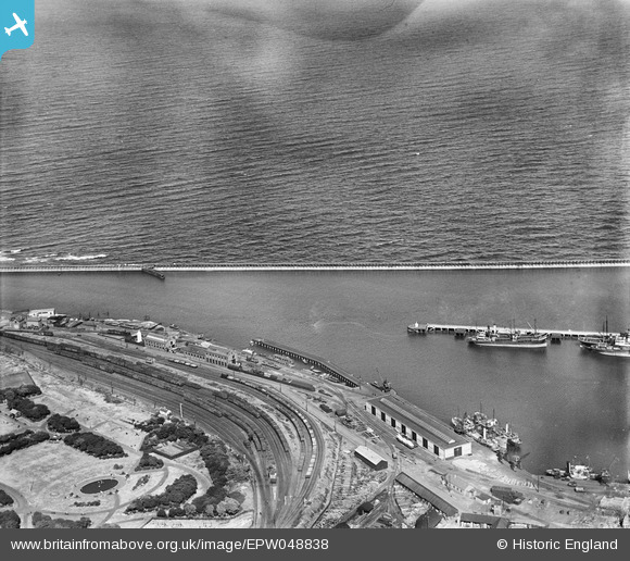
EPW048838 ENGLAND (1935). Ridley Park, railway sidings, the harbour and the sea, Blyth, 1935
© Copyright OpenStreetMap contributors and licensed by the OpenStreetMap Foundation. 2026. Cartography is licensed as CC BY-SA.
Nearby Images (2)
EPW048838

EPW048823

Details
| Title | [EPW048838] Ridley Park, railway sidings, the harbour and the sea, Blyth, 1935 |
| Reference | EPW048838 |
| Date | August-1935 |
| Link | |
| Place name | BLYTH |
| Parish | EAST BEDLINGTON |
| District | |
| Country | ENGLAND |
| Easting / Northing | 432402, 581090 |
| Longitude / Latitude | -1.4918618338621, 55.12307432194 |
| National Grid Reference | NZ324811 |
Pins

ANeilM |
Wednesday 21st of December 2016 09:47:49 PM |