
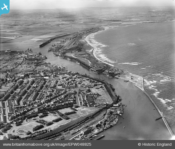
EPW048825 ENGLAND (1935). The harbour, North Beach and environs, Blyth, from the south-east, 1935
© Copyright OpenStreetMap contributors and licensed by the OpenStreetMap Foundation. 2026. Cartography is licensed as CC BY-SA.
Nearby Images (5)
EPW048825

EPW048820

EPW048826

EAW052311

EPW019745

Details
| Title | [EPW048825] The harbour, North Beach and environs, Blyth, from the south-east, 1935 |
| Reference | EPW048825 |
| Date | August-1935 |
| Link | |
| Place name | BLYTH |
| Parish | BLYTH |
| District | |
| Country | ENGLAND |
| Easting / Northing | 431948, 581404 |
| Longitude / Latitude | -1.4989459681792, 55.125925620316 |
| National Grid Reference | NZ319814 |
