
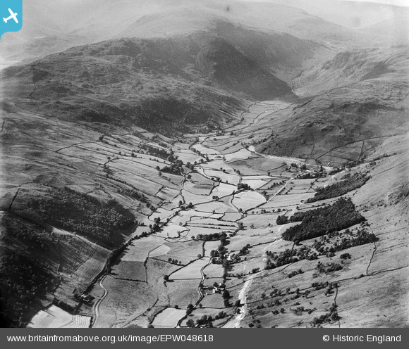
EPW048618 ENGLAND (1935). The northern end of the valley, Longsleddale, from the south-east, 1935
© Copyright OpenStreetMap contributors and licensed by the OpenStreetMap Foundation. 2025. Cartography is licensed as CC BY-SA.
Nearby Images (3)
EPW048618

EPW048610

EPW041969

Details
| Title | [EPW048618] The northern end of the valley, Longsleddale, from the south-east, 1935 |
| Reference | EPW048618 |
| Date | July-1935 |
| Link | |
| Place name | LONGSLEDDALE |
| Parish | LONGSLEDDALE |
| District | |
| Country | ENGLAND |
| Easting / Northing | 349037, 504650 |
| Longitude / Latitude | -2.7857625847065, 54.434570660227 |
| National Grid Reference | NY490047 |
Pins
Be the first to add a comment to this image!