
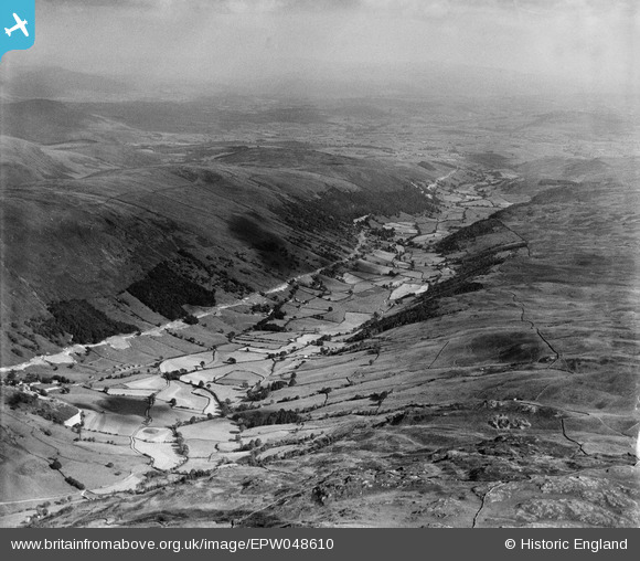
EPW048610 ENGLAND (1935). The valley, Longsleddale, from the north-west, 1935
© Copyright OpenStreetMap contributors and licensed by the OpenStreetMap Foundation. 2025. Cartography is licensed as CC BY-SA.
Nearby Images (2)
EPW048610

EPW048618

Details
| Title | [EPW048610] The valley, Longsleddale, from the north-west, 1935 |
| Reference | EPW048610 |
| Date | July-1935 |
| Link | |
| Place name | LONGSLEDDALE |
| Parish | LONGSLEDDALE |
| District | |
| Country | ENGLAND |
| Easting / Northing | 348858, 504580 |
| Longitude / Latitude | -2.7885100886331, 54.433923576536 |
| National Grid Reference | NY489046 |
Pins
Be the first to add a comment to this image!