
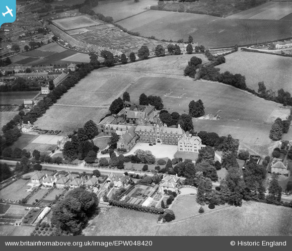
EPW048420 ENGLAND (1935). King's College, Taunton, 1935
© Copyright OpenStreetMap contributors and licensed by the OpenStreetMap Foundation. 2025. Cartography is licensed as CC BY-SA.
Nearby Images (9)
EPW048420

EPW048423

EPW048422

EPW048417

EPW048419

EPW048416

EPW048418

EPW048421

EAW049979

Details
| Title | [EPW048420] King's College, Taunton, 1935 |
| Reference | EPW048420 |
| Date | July-1935 |
| Link | |
| Place name | TAUNTON |
| Parish | |
| District | |
| Country | ENGLAND |
| Easting / Northing | 323554, 123937 |
| Longitude / Latitude | -3.0897795461661, 51.009189850472 |
| National Grid Reference | ST236239 |
Pins
 Lynn |
Sunday 5th of April 2020 01:13:18 PM |
User Comment Contributions
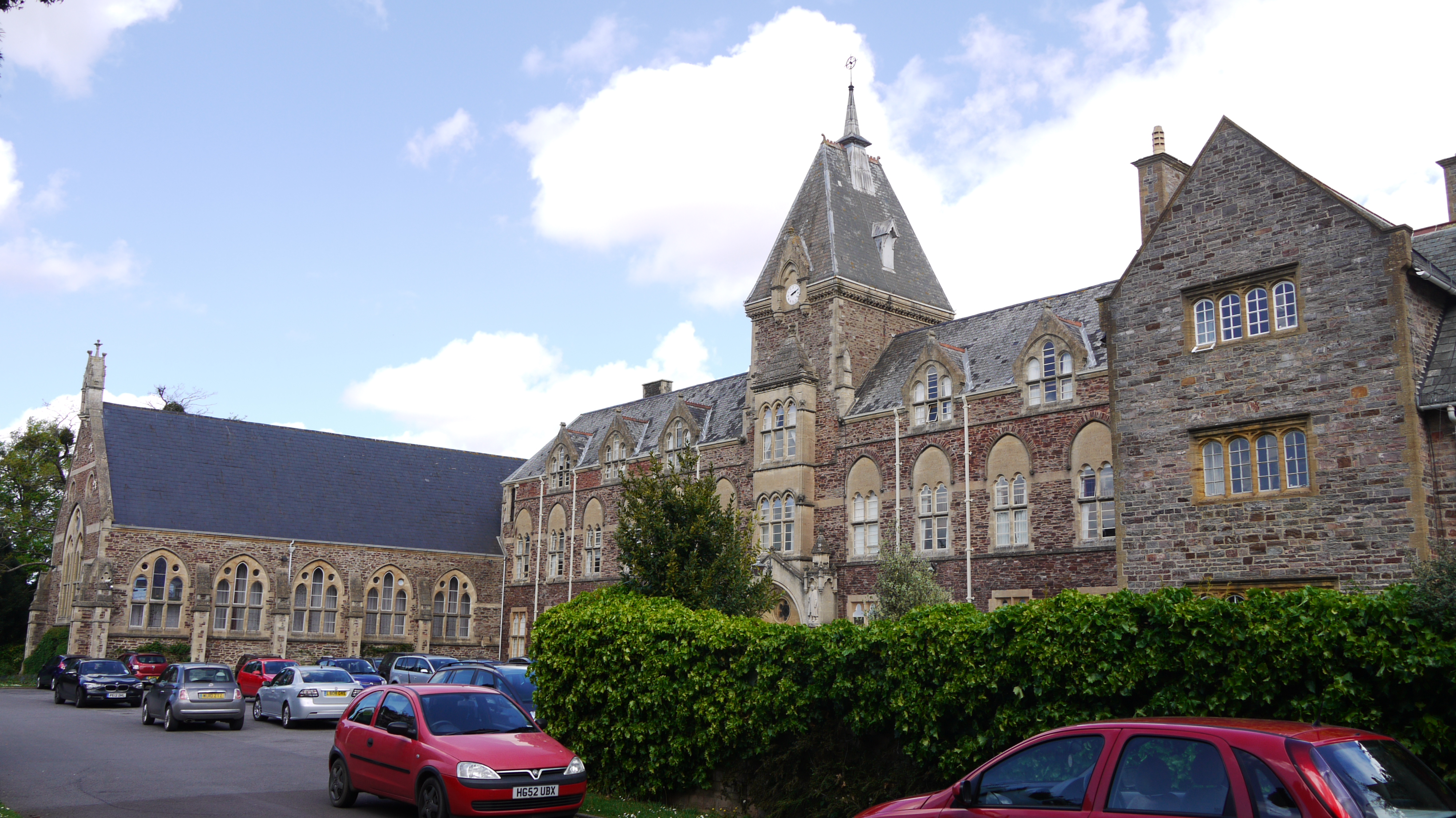 King's College, South Road, Taunton, 12/05/2015 |
 Class31 |
Tuesday 19th of May 2015 12:56:49 PM |