
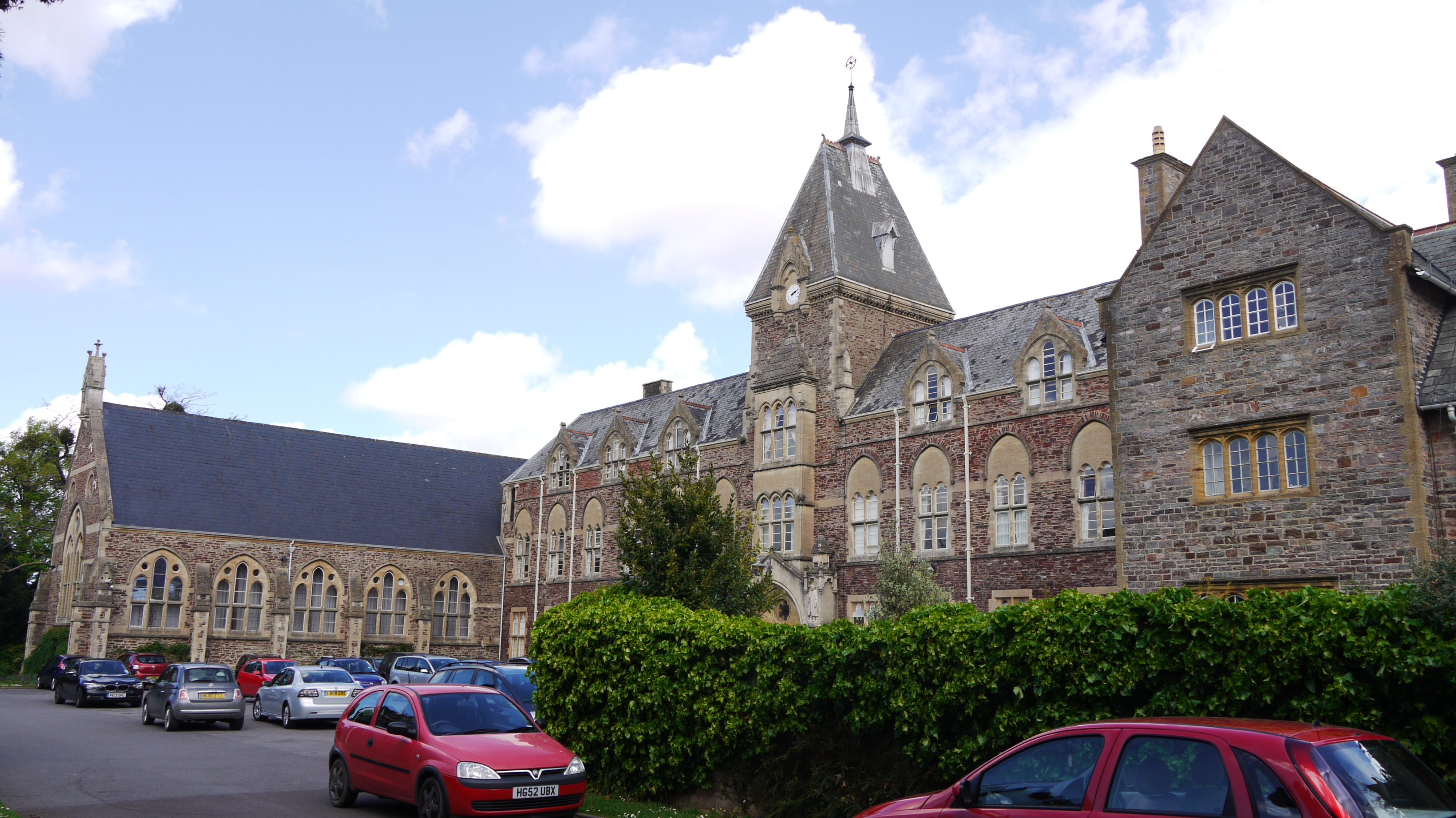
EPW048418 ENGLAND (1935). King's College, Taunton, 1935

© Copyright OpenStreetMap contributors and licensed by the OpenStreetMap Foundation. 2025. Cartography is licensed as CC BY-SA.
Nearby Images (8)
EPW048418

EPW048421

EPW048416

EPW048422

EPW048419

EPW048417

EPW048420

EPW048423

Details
| Title | [EPW048418] King's College, Taunton, 1935 |
| Reference | EPW048418 |
| Date | July-1935 |
| Link | |
| Place name | TAUNTON |
| Parish | |
| District | |
| Country | ENGLAND |
| Easting / Northing | 323527, 123894 |
| Longitude / Latitude | -3.0901553068845, 51.008799620136 |
| National Grid Reference | ST235239 |
Pins
Be the first to add a comment to this image!
User Comment Contributions
 King's College, South Road, Taunton, 12/05/2015 |
 Class31 |
Tuesday 19th of May 2015 12:55:32 PM |