
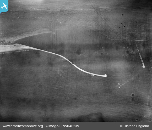
EPW048239 ENGLAND (1935). The South Pier at the entrance to the River Tyne, Tynemouth, 1935. This image has been produced from a damaged negative.
© Copyright OpenStreetMap contributors and licensed by the OpenStreetMap Foundation. 2026. Cartography is licensed as CC BY-SA.
Nearby Images (2)
EPW048239

EPW048236

Details
| Title | [EPW048239] The South Pier at the entrance to the River Tyne, Tynemouth, 1935. This image has been produced from a damaged negative. |
| Reference | EPW048239 |
| Date | July-1935 |
| Link | |
| Place name | TYNEMOUTH |
| Parish | |
| District | |
| Country | ENGLAND |
| Easting / Northing | 438033, 568483 |
| Longitude / Latitude | -1.4052421376387, 55.009379628757 |
| National Grid Reference | NZ380685 |
Pins
Be the first to add a comment to this image!