
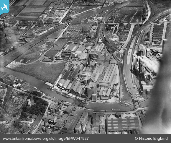
EPW047927 ENGLAND (1935). The British Extracting Company Works and environs, Stoneferry, 1935
© Copyright OpenStreetMap contributors and licensed by the OpenStreetMap Foundation. 2026. Cartography is licensed as CC BY-SA.
Nearby Images (20)
EPW047927

EPW047932

EPW047923

EPW047934

EPW047933

EPW047926

EPW047928

EPW047924

EPW047929

EPW047922

EPW047921

EPW047925

EPW047930

EPW047931

EPW047919

EPW047920

EPW036508

EPW034655

EPW034652

EPW010839

Details
| Title | [EPW047927] The British Extracting Company Works and environs, Stoneferry, 1935 |
| Reference | EPW047927 |
| Date | June-1935 |
| Link | |
| Place name | STONEFERRY |
| Parish | |
| District | |
| Country | ENGLAND |
| Easting / Northing | 509945, 430605 |
| Longitude / Latitude | -0.33206662610109, 53.759964525785 |
| National Grid Reference | TA099306 |
Pins

Dylan Moore |
Monday 6th of May 2013 02:10:43 PM | |
|
Dylan Moore |
Monday 6th of May 2013 02:10:25 PM | |
|
Dylan Moore |
Monday 6th of May 2013 02:09:25 PM | |
|
Dylan Moore |
Monday 6th of May 2013 02:08:50 PM | |
|
Dylan Moore |
Monday 6th of May 2013 02:08:25 PM | |
|
Dylan Moore |
Saturday 4th of May 2013 12:53:24 AM | |
This bridge is still operation today because of the footpath which also crosses it. |

John Wass |
Wednesday 20th of August 2014 10:59:30 AM |
|
Dylan Moore |
Saturday 4th of May 2013 12:52:51 AM | |
|
Dylan Moore |
Saturday 4th of May 2013 12:52:23 AM |