
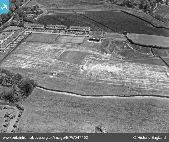
EPW047462 ENGLAND (1935). The Newton Mill Newtonhurst Estate, Hyde, 1935
© Copyright OpenStreetMap contributors and licensed by the OpenStreetMap Foundation. 2025. Cartography is licensed as CC BY-SA.
Nearby Images (7)
EPW047462

EPW047459

EPW047461

EPW047465

EPW047463

EPW047464

EPW047460

Details
| Title | [EPW047462] The Newton Mill Newtonhurst Estate, Hyde, 1935 |
| Reference | EPW047462 |
| Date | May-1935 |
| Link | |
| Place name | HYDE |
| Parish | |
| District | |
| Country | ENGLAND |
| Easting / Northing | 396079, 395887 |
| Longitude / Latitude | -2.0590606675512, 53.459463585407 |
| National Grid Reference | SJ961959 |
Pins
Be the first to add a comment to this image!