
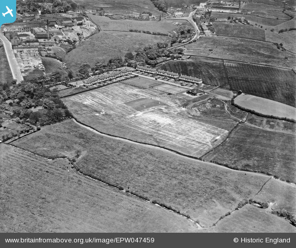
EPW047459 ENGLAND (1935). The Newton Mill Newtonhurst Estate, Hyde, 1935
© Copyright OpenStreetMap contributors and licensed by the OpenStreetMap Foundation. 2025. Cartography is licensed as CC BY-SA.
Nearby Images (7)
EPW047459

EPW047462

EPW047461

EPW047465

EPW047464

EPW047463

EPW047460

Details
| Title | [EPW047459] The Newton Mill Newtonhurst Estate, Hyde, 1935 |
| Reference | EPW047459 |
| Date | May-1935 |
| Link | |
| Place name | HYDE |
| Parish | |
| District | |
| Country | ENGLAND |
| Easting / Northing | 396066, 395889 |
| Longitude / Latitude | -2.0592565069745, 53.459481467497 |
| National Grid Reference | SJ961959 |
Pins
 manutdmrs |
Monday 17th of January 2022 11:09:57 PM | |
Erny |
Tuesday 13th of January 2015 09:44:41 PM | |
TheBlueCube |
Monday 17th of November 2014 06:01:34 PM | |
TheBlueCube |
Monday 17th of November 2014 06:00:21 PM | |
TheBlueCube |
Monday 17th of November 2014 05:59:05 PM |