
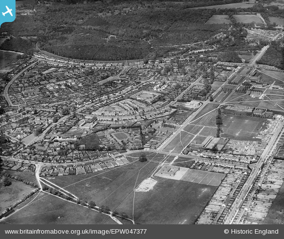
EPW047377 ENGLAND (1935). Handside and Sharrardspark Wood, Welwyn Garden City, 1935
© Copyright OpenStreetMap contributors and licensed by the OpenStreetMap Foundation. 2026. Cartography is licensed as CC BY-SA.
Nearby Images (20)
EPW047377

EPW047376

EPW054531

EPW054540A

EPW054542

EPW054540

EPW047379

EPW054532

EPW062075

EPW047367

EPW054523

EPW062076

EAW013993

EAW035461

EPW054524

EAW013998

EPW047368

EPW047369

EPW047357

EPW054510

Details
| Title | [EPW047377] Handside and Sharrardspark Wood, Welwyn Garden City, 1935 |
| Reference | EPW047377 |
| Date | May-1935 |
| Link | |
| Place name | WELWYN GARDEN CITY |
| Parish | |
| District | |
| Country | ENGLAND |
| Easting / Northing | 523354, 212780 |
| Longitude / Latitude | -0.2108978025393, 51.799593798618 |
| National Grid Reference | TL234128 |
Pins
Be the first to add a comment to this image!