
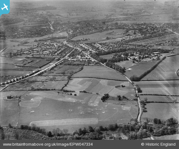
EPW047334 ENGLAND (1935). Kingston Hill Golf Course and environs, Stafford, 1935
© Copyright OpenStreetMap contributors and licensed by the OpenStreetMap Foundation. 2026. Cartography is licensed as CC BY-SA.
Nearby Images (14)
EPW047334

EPW047332

EAW025597

EPW034030

EPW034028

EPW034027

EPW036105

EPW036106

EPW034026

EPW036104

EPW036107

EPW053376

EPW034029

EPW034031

Details
| Title | [EPW047334] Kingston Hill Golf Course and environs, Stafford, 1935 |
| Reference | EPW047334 |
| Date | May-1935 |
| Link | |
| Place name | STAFFORD |
| Parish | |
| District | |
| Country | ENGLAND |
| Easting / Northing | 393675, 323465 |
| Longitude / Latitude | -2.0938418408283, 52.808366225528 |
| National Grid Reference | SJ937235 |
Pins
Be the first to add a comment to this image!