
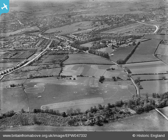
EPW047332 ENGLAND (1935). Kingston Hill Golf Course and environs, Stafford, 1935
© Copyright OpenStreetMap contributors and licensed by the OpenStreetMap Foundation. 2026. Cartography is licensed as CC BY-SA.
Nearby Images (2)
EPW047332

EPW047334

Details
| Title | [EPW047332] Kingston Hill Golf Course and environs, Stafford, 1935 |
| Reference | EPW047332 |
| Date | May-1935 |
| Link | |
| Place name | STAFFORD |
| Parish | |
| District | |
| Country | ENGLAND |
| Easting / Northing | 393879, 323504 |
| Longitude / Latitude | -2.0908158981076, 52.808719209283 |
| National Grid Reference | SJ939235 |
Pins
Be the first to add a comment to this image!