
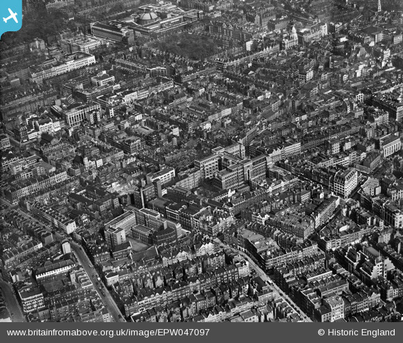
EPW047097 ENGLAND (1935). The Middlesex Hospital and surroundings, Marylebone, 1935
© Copyright OpenStreetMap contributors and licensed by the OpenStreetMap Foundation. 2026. Cartography is licensed as CC BY-SA.
Nearby Images (15)
EPW047097

EPW012749

EPW012751

EPW012750

EPW047093

EPW047094

EPW047096

EPW012736

EPW047095

EPW012738

EPW012737

EPW012735

EAW000537

EPW047236

EPW005130

Details
| Title | [EPW047097] The Middlesex Hospital and surroundings, Marylebone, 1935 |
| Reference | EPW047097 |
| Date | May-1935 |
| Link | |
| Place name | MARYLEBONE |
| Parish | |
| District | |
| Country | ENGLAND |
| Easting / Northing | 529298, 181691 |
| Longitude / Latitude | -0.13623719909159, 51.518839354588 |
| National Grid Reference | TQ293817 |
Pins

BenW |
Saturday 30th of August 2014 03:11:56 PM | |

Alan McFaden |
Tuesday 10th of September 2013 06:49:17 PM | |
|
Alan McFaden |
Tuesday 10th of September 2013 06:48:51 PM | |
|
Alan McFaden |
Tuesday 10th of September 2013 06:48:15 PM |


