
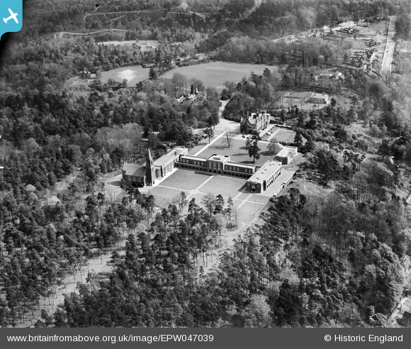
EPW047039 ENGLAND (1935). The Royal Russell School (Ballards site), Croydon, 1935
© Copyright OpenStreetMap contributors and licensed by the OpenStreetMap Foundation. 2025. Cartography is licensed as CC BY-SA.
Nearby Images (14)
EPW047039
, Croydon, 1935")
EPW046863

EPW046865

EPW046866

EPW046869

EPW047038
 and environs, Croydon, 1935. This image has been marked by Aerofilms Ltd for photo editing.")
EPW046864

EPW046867

EPW047037
, Croydon, 1935. This image has been marked by Aerofilms Ltd for photo editing.")
EPW005208

EPW005205

EPW005207

EPW005209

EPW005206

Details
| Title | [EPW047039] The Royal Russell School (Ballards site), Croydon, 1935 |
| Reference | EPW047039 |
| Date | May-1935 |
| Link | |
| Place name | CROYDON |
| Parish | |
| District | |
| Country | ENGLAND |
| Easting / Northing | 534768, 163845 |
| Longitude / Latitude | -0.064231772307758, 51.357170577118 |
| National Grid Reference | TQ348638 |
Pins

brianbeckett |
Saturday 18th of October 2014 09:27:42 PM | |
|
brianbeckett |
Saturday 18th of October 2014 09:26:08 PM |