
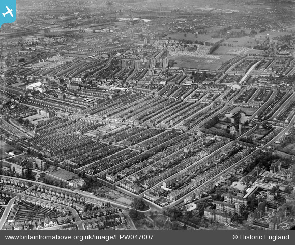
EPW047007 ENGLAND (1935). The Totterdown Fields Estate, Upper Tooting, from the south-east, 1935
© Copyright OpenStreetMap contributors and licensed by the OpenStreetMap Foundation. 2026. Cartography is licensed as CC BY-SA.
Nearby Images (5)
EPW047007

EPW047002

EPW046997

EPW047005

EPW047000

Details
| Title | [EPW047007] The Totterdown Fields Estate, Upper Tooting, from the south-east, 1935 |
| Reference | EPW047007 |
| Date | May-1935 |
| Link | |
| Place name | UPPER TOOTING |
| Parish | |
| District | |
| Country | ENGLAND |
| Easting / Northing | 528250, 171523 |
| Longitude / Latitude | -0.15502651567947, 51.427689632541 |
| National Grid Reference | TQ283715 |
Pins
Be the first to add a comment to this image!