
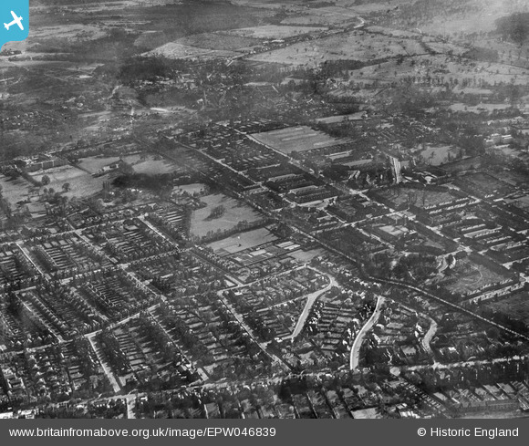
EPW046839 ENGLAND (1935). The residential area surrounding Putney Park Lane, Roehampton, 1935
© Copyright OpenStreetMap contributors and licensed by the OpenStreetMap Foundation. 2026. Cartography is licensed as CC BY-SA.
Nearby Images (4)
EPW046839

EPW046846

EPW046845

EPW046841

Details
| Title | [EPW046839] The residential area surrounding Putney Park Lane, Roehampton, 1935 |
| Reference | EPW046839 |
| Date | April-1935 |
| Link | |
| Place name | ROEHAMPTON |
| Parish | |
| District | |
| Country | ENGLAND |
| Easting / Northing | 522746, 174686 |
| Longitude / Latitude | -0.233067280165, 51.457338827084 |
| National Grid Reference | TQ227747 |
Pins

Tenon and jig |
Monday 27th of November 2023 10:48:21 PM | |
|
Tenon and jig |
Thursday 25th of March 2021 03:12:05 PM | |
|
Dom |
Tuesday 7th of April 2020 12:22:19 PM | |
|
ThommoSW15 |
Friday 22nd of June 2018 02:46:10 PM | |
|
ThommoSW15 |
Friday 22nd of June 2018 02:44:13 PM | |
|
John |
Monday 6th of October 2014 06:26:46 PM | |
|
John |
Monday 6th of October 2014 06:25:58 PM | |
|
John |
Monday 6th of October 2014 06:25:07 PM |