
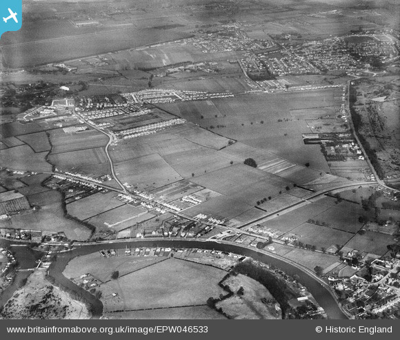
EPW046533 ENGLAND (1935). Land between Laleham and Staines, Laleham, 1935
© Copyright OpenStreetMap contributors and licensed by the OpenStreetMap Foundation. 2026. Cartography is licensed as CC BY-SA.
Nearby Images (4)
EPW046533

EPW046532

EPW046530

EPW046531

Details
| Title | [EPW046533] Land between Laleham and Staines, Laleham, 1935 |
| Reference | EPW046533 |
| Date | February-1935 |
| Link | |
| Place name | LALEHAM |
| Parish | |
| District | |
| Country | ENGLAND |
| Easting / Northing | 505028, 169993 |
| Longitude / Latitude | -0.48940757979586, 51.41871671467 |
| National Grid Reference | TQ050700 |

