
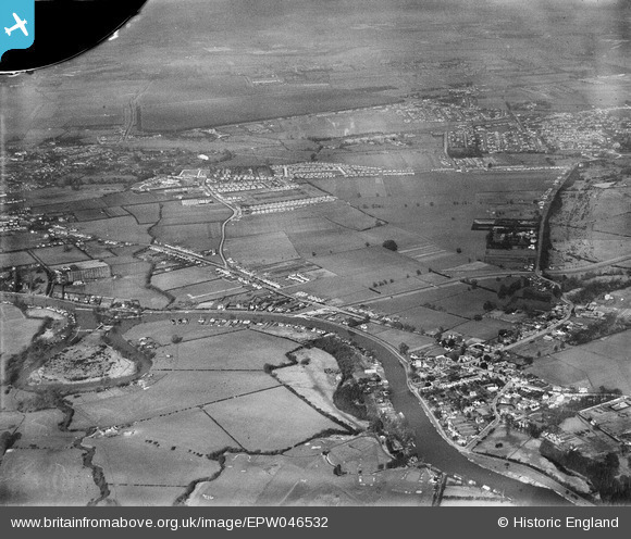
EPW046532 ENGLAND (1935). Land between Laleham and Staines and Penton Hook Island, Laleham, 1935. This image has been produced from a damaged negative.
© Copyright OpenStreetMap contributors and licensed by the OpenStreetMap Foundation. 2026. Cartography is licensed as CC BY-SA.
Nearby Images (4)
EPW046532

EPW046530

EPW046533

EPW046531

Details
| Title | [EPW046532] Land between Laleham and Staines and Penton Hook Island, Laleham, 1935. This image has been produced from a damaged negative. |
| Reference | EPW046532 |
| Date | February-1935 |
| Link | |
| Place name | LALEHAM |
| Parish | |
| District | |
| Country | ENGLAND |
| Easting / Northing | 504954, 169846 |
| Longitude / Latitude | -0.49051504342632, 51.417408965455 |
| National Grid Reference | TQ050698 |
Pins

Class31 |
Tuesday 15th of September 2015 10:52:43 AM | |

Billy121 |
Thursday 17th of July 2014 01:26:34 PM | |
|
Billy121 |
Thursday 17th of July 2014 01:25:10 PM | |
|
Billy121 |
Thursday 17th of July 2014 01:24:38 PM |