
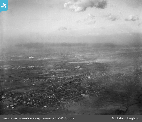
EPW046509 ENGLAND (1935). Residential area at West Bridgford, West Bridgford, from the east, 1935
© Copyright OpenStreetMap contributors and licensed by the OpenStreetMap Foundation. 2025. Cartography is licensed as CC BY-SA.
Nearby Images (3)
EPW046509

EPW046505

EPW046506

Details
| Title | [EPW046509] Residential area at West Bridgford, West Bridgford, from the east, 1935 |
| Reference | EPW046509 |
| Date | March-1935 |
| Link | |
| Place name | WEST BRIDGFORD |
| Parish | |
| District | |
| Country | ENGLAND |
| Easting / Northing | 459232, 336509 |
| Longitude / Latitude | -1.1188786229744, 52.922407457155 |
| National Grid Reference | SK592365 |
Pins
Be the first to add a comment to this image!